このコースでのベストなティータイムを取得しています
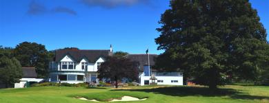
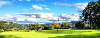
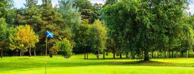
The estate also includes several listed structures including B listed Ratho Park Doocot, the B listed stable block and coach house, the C listed ice house plus several other characteristic features such as ha-has and associated ditches. Gatehouses known as East and West Lodges at each of the entrances are no longer there, although a modern bungalow of the same name is now where West Lodge was located. Ratho Park clubhouse and terraces The site is almost square and sits approximately 75 metres above sea level. Although relatively flat in topography, varying only 13 metres across the site, it is somewhat saucer shaped with the centre of the course lying slightly below the clubhouse. Although subtle, the detail of relief and landform are very important in creating the character of the course as a whole, and the playing quality of individual golf holes. On its east and north sides, the course is bounded by the Union Canal, itself a Scheduled Ancient Monument. The entire perimeter is defined by a mature broadleaf woodland belt averaging some 30-40 feet wide. The central course is dominated by mature parkland trees and younger planting. Woodland management is underway to ensure the continuation of these important landscape, habitat and golfing features. The present course measure 6,003 yards from the medal tees and plays par 69, standard scratch 69. The ladies’ course measures 5,606 yards from their medal tees, par 72.
Club Facilities
コースの詳細
- ホール
- 18
- パー
- 72
- 距離
- 6,003ヤード
- コースの種類
- パークランド
- 芝の種類
- Unique Grass Type
- 設計者
- William Burn
Edinburghのゴルフ天気


